Lochaber
The most-visited region of mainland Highland Scotland — Fort William, Glencoe, Ben Nevis, the Glenfinnan Viaduct, Mallaig, the road to the isles, Knoydart, Ardnamurchan. Three of Scotland's flagship long-distance routes (West Highland Way, Great Glen Way, Caledonia Way) terminate or pass through Fort William, and the Mallaig ferry connects the mainland to Skye and the Small Isles.
Lochaber is the historic Highland district that runs from Glencoe in the south to Glenfinnan in the west and Spean Bridge in the north, with Fort William at its heart. It is the most-visited region of mainland Highland Scotland — Glencoe alone draws something close to a million visitors a year — and concentrates more iconic landscape per square mile than any other corner of the country.
Fort William (An Gearasdan) is the regional capital, sitting at the southern end of the Caledonian Canal where the Great Glen meets Loch Linnhe. It’s the start or finish of the West Highland Way, the Great Glen Way, and the Caledonia Way; the base camp for Ben Nevis (1,345 m, the UK’s highest summit, climbed by something approaching 100,000 walkers a year on the standard tourist path); and the rail terminus of the West Highland Line from Glasgow Queen Street, which over the Mallaig extension is one of the great scenic train rides in the world.
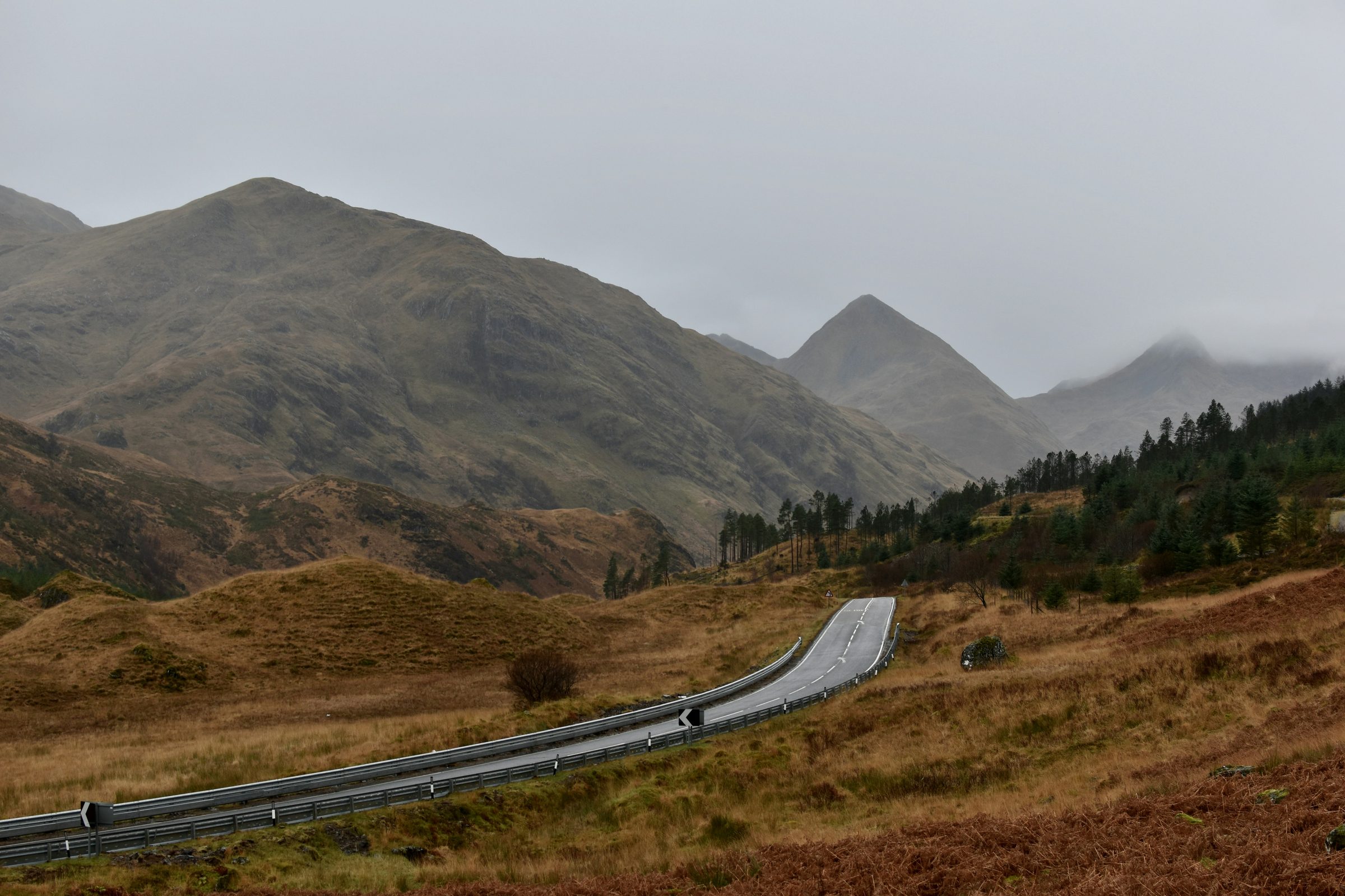
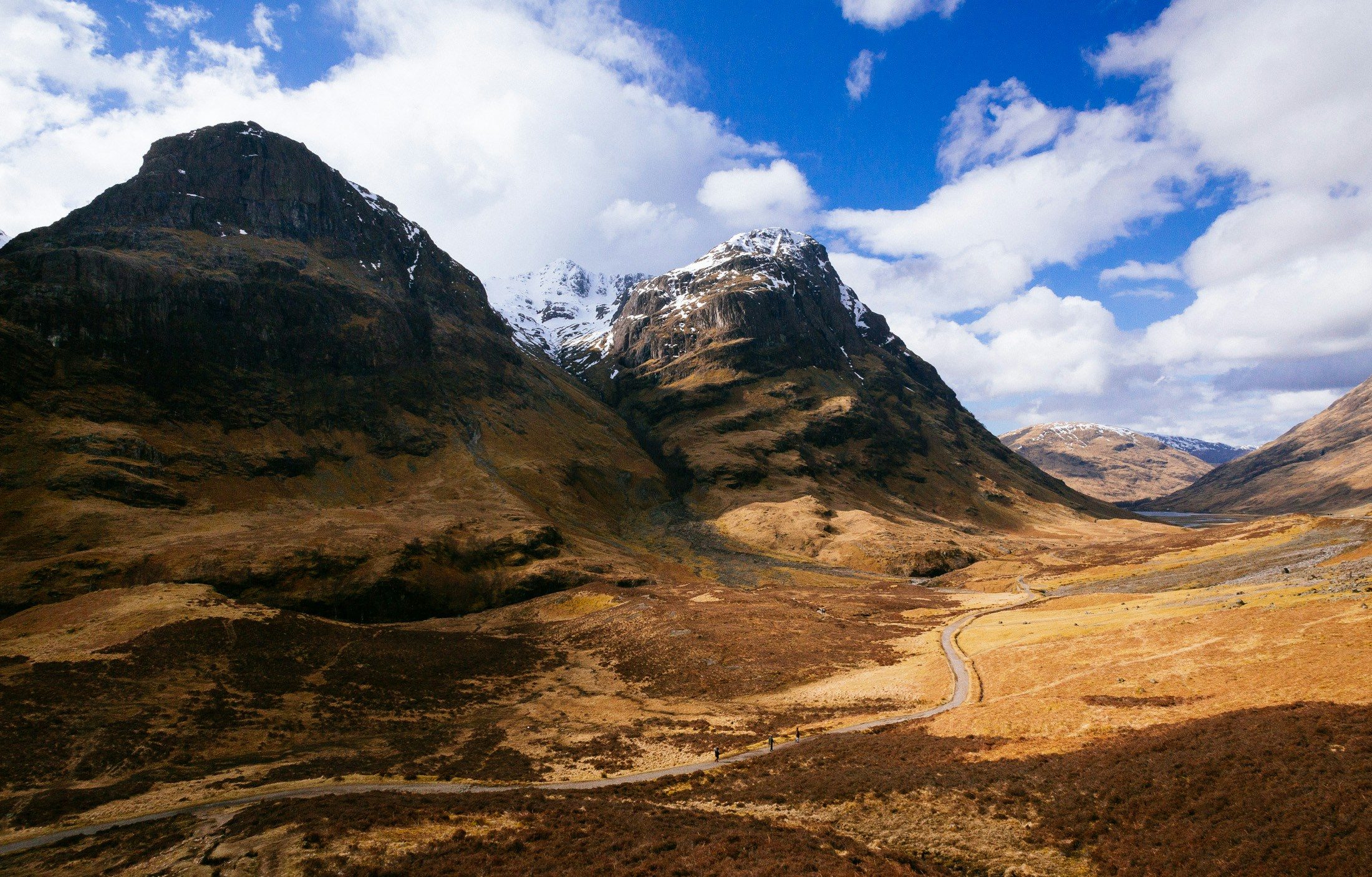
Glencoe village and the surrounding glen — Loch Achtriochtan, the Three Sisters, Buachaille Etive Mòr, the Devil’s Staircase — sit 25 km south of Fort William on the A82. The glen is editorially distinct and could in time become its own sub-region; for now it’s tagged with lochaber and surfaces on the Lochaber page. Visitor centre, Clachaig Inn, Glencoe Mountain ski resort, Lost Valley walk, the 1692 massacre interpretive signage are all here.
West and south-west, the road to the isles runs from Fort William through Glenfinnan (the Jacobite steam train viaduct, the Loch Shiel monument), Arisaig (the white-shell beaches, the silver sands), and on to Mallaig where the Caledonian Macbrayne ferry crosses to Armadale on Skye, plus services to the Small Isles (Eigg, Muck, Rum, Canna) and Knoydart (the foot-passenger-only ferry to Inverie).
Knoydart itself — the Rough Bounds peninsula reachable only by ferry from Mallaig or by a 16-mile hike from Kinloch Hourn — is editorially a different proposition from the rest of Lochaber and may eventually warrant its own region. Same goes for Ardnamurchan, the long peninsula south-west of Loch Sunart with Britain’s most westerly mainland point at Ardnamurchan Lighthouse.
Getting there
By road from Glasgow on the A82 — through Loch Lomond and the Trossachs, over Rannoch Moor, down through Glencoe, into Fort William (about 2.5 hours, traffic dependent). From Inverness via the A82 down the Great Glen along Loch Ness (1.5 hours). By rail: the West Highland Line from Glasgow Queen Street to Fort William (3.75 hours); the Mallaig extension continues for another 1.5 hours along one of the scenic routes worth booking a window seat for. By ferry: Mallaig is the mainland gateway for Skye (Caledonian Macbrayne to Armadale) and the Small Isles. By air: Inverness or Glasgow are the closest airports; Fort William has no scheduled service.
When to go
Year-round, with serious seasonal variation. Fort William is busy from late March (Easter) through to October half-term; Glencoe is busy year-round but particularly so in winter for the climbing and ski seasons. The Glenfinnan Viaduct and the Jacobite steam train run April–October; book ahead for both the train and Glenfinnan parking in summer, where the small visitor-centre car park fills by mid-morning. Ben Nevis is climbable year-round but in winter conditions becomes a serious mountaineering objective rather than a hill walk; the standard tourist path is straightforward in summer and fatal in winter without the right kit and skills.
Destinations
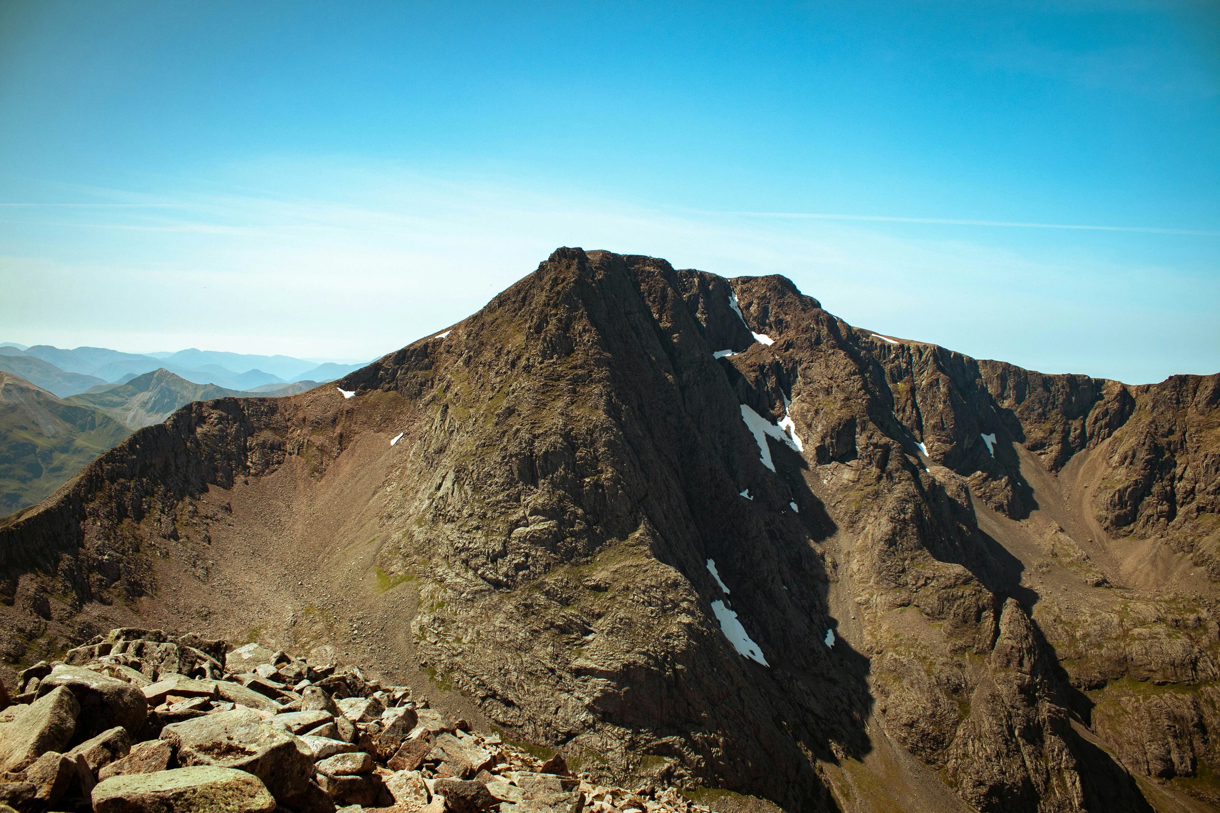
- Ben Nevis The highest mountain in the British Isles. Ben Nevis (1,345m) rises above Glen Nevis on the south side of Fort William; the Mountain Track u …
- Glencoe The dramatic glen south of Fort William, framed by the Three Sisters and Bidean nam Bian to the south and the Aonach Eagach ridge to the nor …
- Loch Ness The 23-mile freshwater loch running south-west from Inverness through the Great Glen to Fort Augustus. By volume the largest body of fresh w …
Places to visit
10 listings across 4 categories.
Trails through this region
- route · hiking Ben Nevis via the Càrn Mòr Dearg Arête The classic mountaineering route on Ben Nevis — over Càrn Mòr Dearg (1,220 m) and along the airy connecting arête to the summit. 17.9 km, 1,500+ m ascent, 10–13 hours, Grade 1 scramble. The finest way to climb Ben Nevis for fit walkers comfortable with exposure.
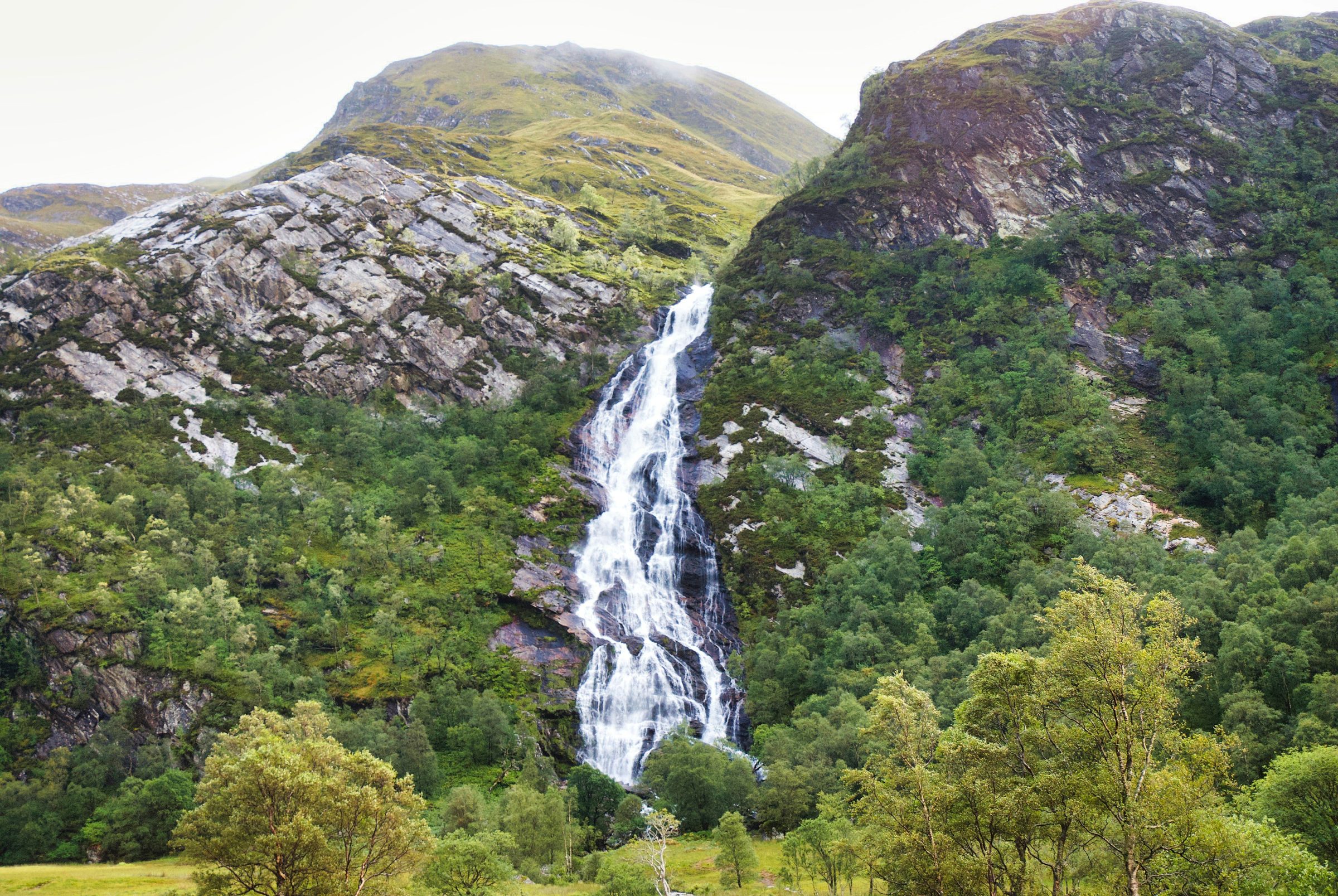
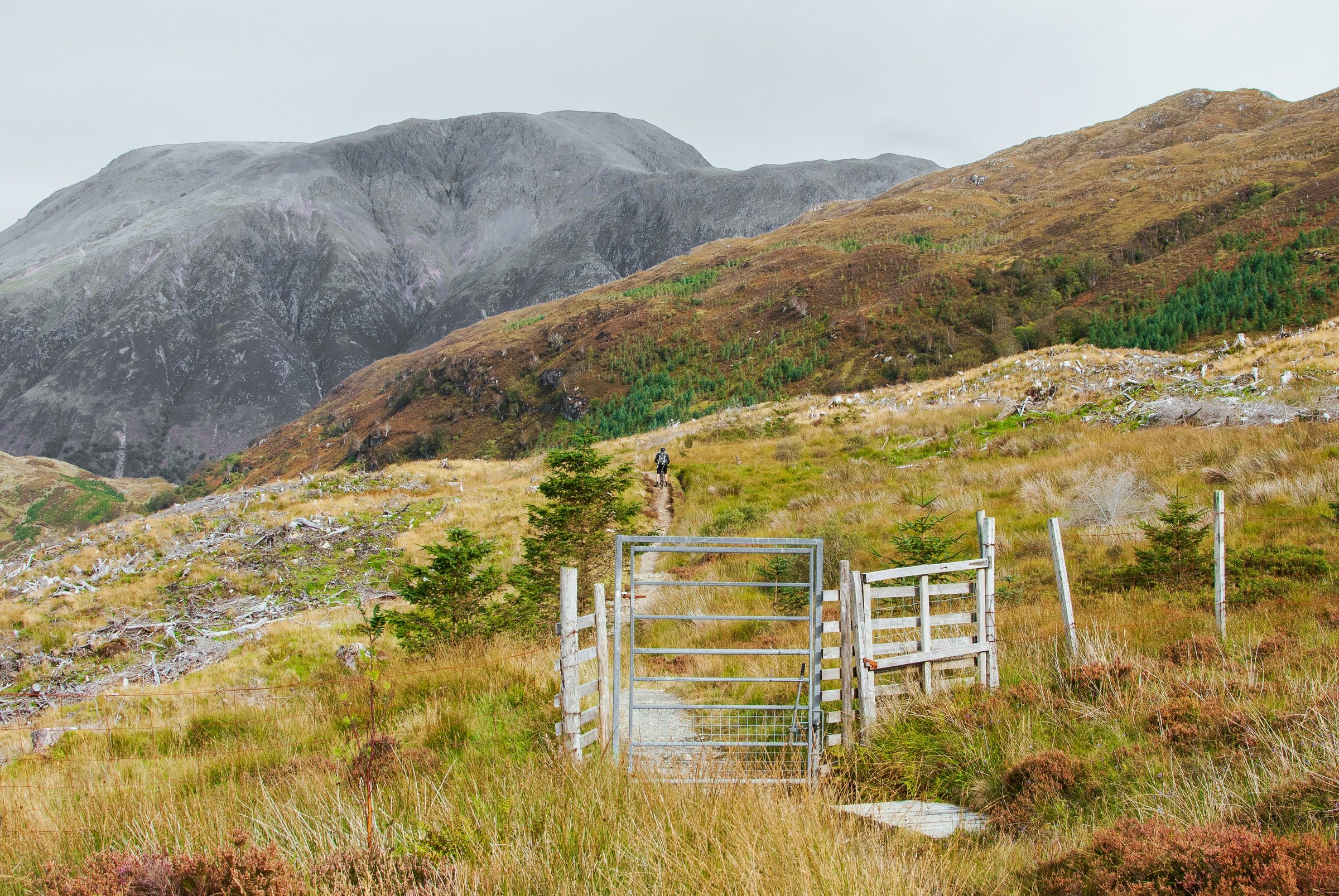
- route · walking Steall Falls and the Nevis Gorge The classic Glen Nevis gorge walk — through the Nevis Gorge to the meadow below An Steall Bàn, Britain's second-highest waterfall (~120 m). 5 km, 1.5–2 hours, moderate. The wire bridge across the river Nevis is famously vertiginous (and entirely optional).
- route-collection · hiking · walking Ben Nevis The UK's highest mountain (1,345 m), and the short walks of the Glen Nevis gorge below it. Three routes from one hub — the Mountain Track from Glen Nevis Visitor Centre, the Càrn Mòr Dearg Arête for scramblers, and the moderate Steall Falls walk through the Nevis gorge.
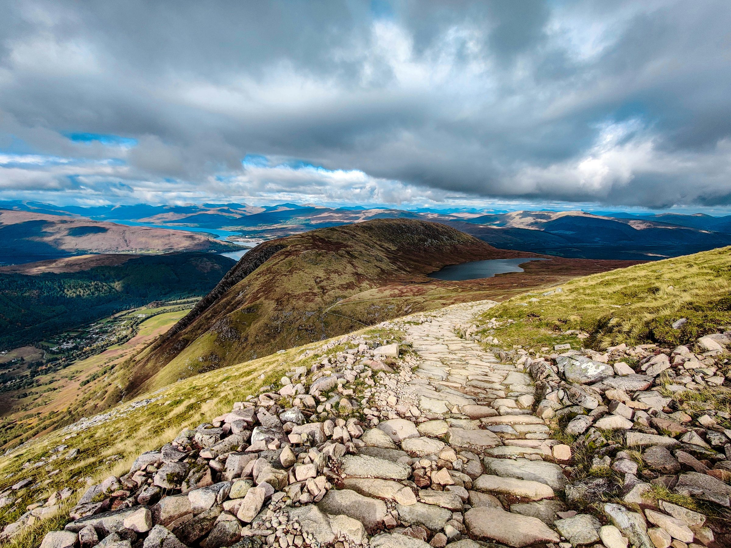
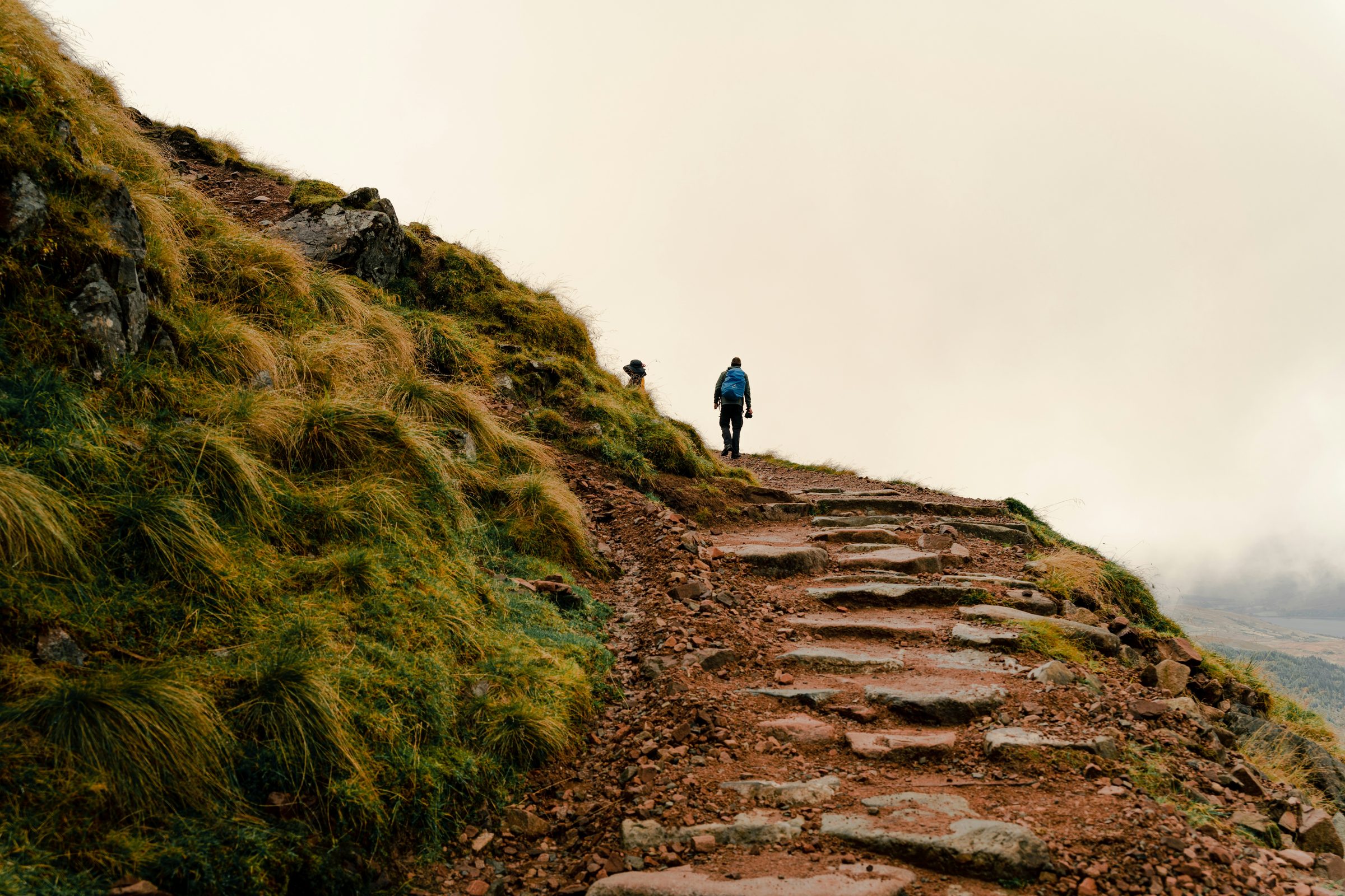
- route · hiking · walking Ben Nevis Mountain Track The standard route up Ben Nevis — the well-engineered late-Victorian path from Glen Nevis Visitor Centre to the summit. 17 km return, 1,352 m of ascent, 7–9 hours. Tough rather than technical; the difficulty is the cumulative climb on tired feet.
- route · cycling The Caledonia Way Sustrans's flagship Scottish cycle route — NCR 78. 234 miles from Inverness south through the Great Glen to Fort William, west through Glencoe to Oban, then on through Argyll and Kintyre to Campbeltown. Tarmac throughout, on cycle path and quiet roads.
- route · hiking · cycling Great Glen Way The geological-fault-line walk and cycle from Fort William to Inverness — 79 miles along the Caledonian Canal and the shores of Loch Lochy, Loch Oich, and Loch Ness. Easier ground than the West Highland Way; canal towpath and low-level forest tracks throughout.
- route · hiking · walking West Highland Way Scotland's most-walked long-distance trail — Milngavie on the northern edge of Glasgow to Fort William, 96 miles through Loch Lomond, Rannoch Moor, and Glencoe. The standard introduction to long-distance walking in Scotland and the busiest of the Great Trails by some margin.