Sutherland
The wild north-west quarter of the Scottish mainland — Lochinver, Suilven, Cape Wrath, Smoo Cave, Durness. The lowest population density of any administrative area in the British Isles; the iconic empty-quarter stretch of the NC500 and the long-haul cycling and walking objective for everyone heading further than Inverness.
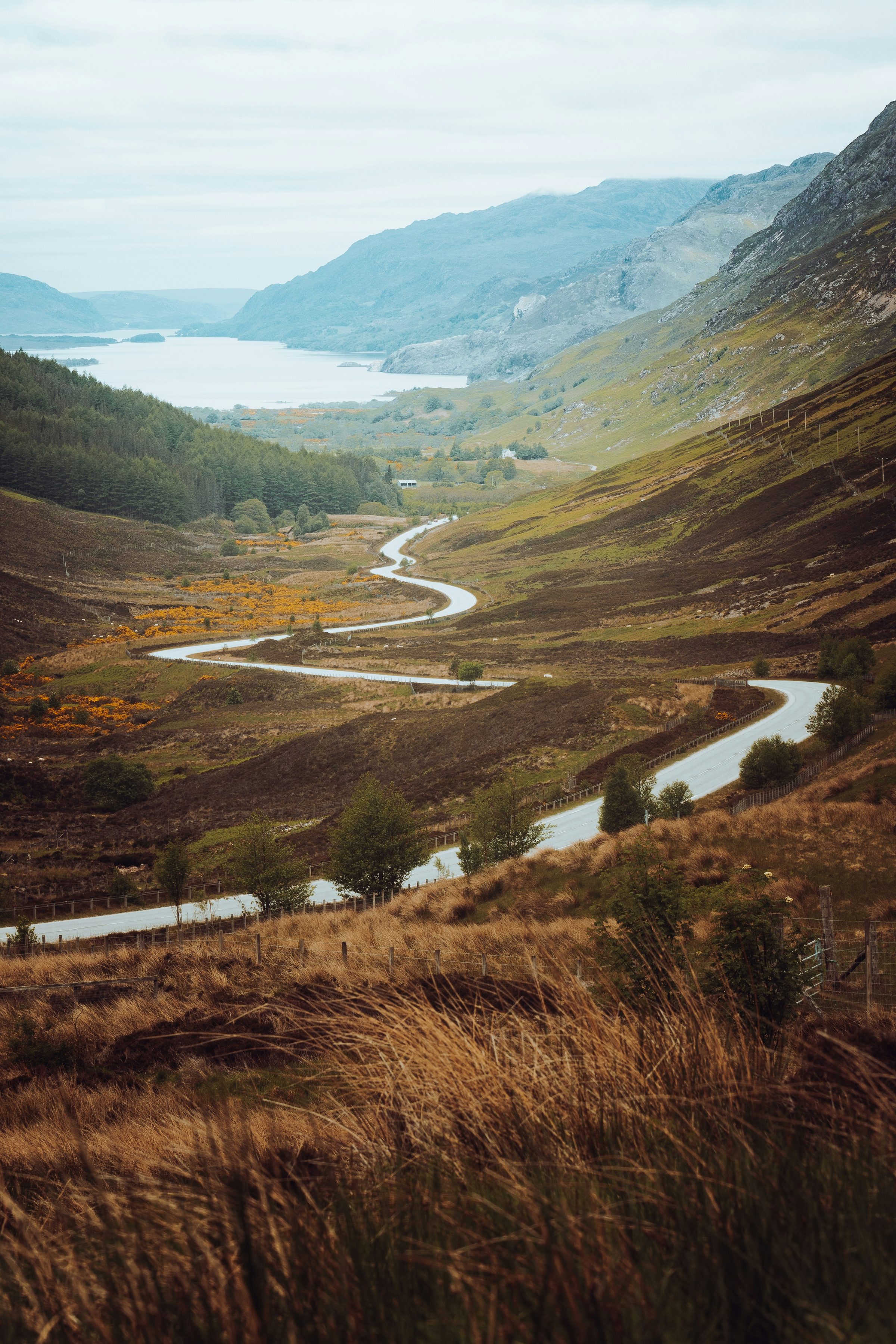
Sutherland (Cataibh) is, by Britain’s standards, almost empty. The historic county covers more than 5,000 km² but holds fewer than 14,000 people; the road network is a single coastal strip on the west and north (the A894/A838) and a single trunk road on the east (the A9). Between the two coasts is a vast peat-and-hill landscape that holds Suilven, Quinag, Foinaven, and Cranstackie — all standalone island-mountains rising from peat platforms, instantly recognisable as Sutherland and unlike anything else in Scotland.
The visitor draw is the north-west arc: Lochinver as the food-and-galleries hub (Achins bookshop, Lochinver Larder pies, the Caberfeidh restaurant), Achmelvich and Stoer for white-shell-sand beaches, Stoer Lighthouse and the Old Man of Stoer for the headland walk, Scourie and Handa Island for the seabird colonies, Kinlochbervie and Sandwood Bay for the wildest beach on the British mainland, and Durness for Smoo Cave and the mainland-side approach to Cape Wrath. Cape Wrath itself is reached by the small passenger ferry across the Kyle of Durness followed by a 16-km minibus run through the MOD bombing range to the lighthouse — a half-day excursion on a clear day.
The east coast is gentler and lower: Helmsdale, Brora, Dornoch (across the firth — administratively Sutherland, but visitor-mentally part of the Easter Ross / Moray strip). For NC500 routing this stretch is usually the final day back into Inverness.
Getting there
The standard route is the NC500 from Inverness — Wester Ross gives way to Sutherland somewhere around Ullapool or Lochinver depending on whose definition you use. By rail: the Far North Line from Inverness reaches Lairg, Helmsdale, Wick, and Thurso (Sutherland’s east coast and the Caithness border); the west and north have no rail service. By car the inland route is the A836 across the Crask, a single-track road over moorland that’s faster than going all the way round if Lairg is the destination.
Fuel discipline matters. The longest gap between fuel stations on the north-west arc is over 60 km (Lochinver to Kinlochbervie or Durness) — fill at every opportunity in summer when motorhome demand can deplete pump stocks.
When to go
April to October is the working window for almost everything beyond the trunk road. Many small businesses (galleries, cafés, the smaller B&Bs) close from November to mid-March. The roads stay open year-round but winter conditions on the high passes (Drumbeg detour, Bealach na Bà across the Wester Ross border) can be impassable. Midges peak in July and August and can be miserable on still moorland evenings; bring repellent and a head-net for any wild camping. Late May and September give the best balance of long days, settled weather, and low midge.
Destinations
Places to visit
7 listings across 4 categories.