Loch Lomond and the Trossachs
Scotland's first national park (designated 2002) — Loch Lomond, Ben Lomond, the Trossachs, Aberfoyle, Callander, Balquhidder, Tyndrum. The transition zone between the Central Belt and the Highlands, and the southern half of the West Highland Way's distance.
The Loch Lomond and the Trossachs National Park covers 1,865 km² across the southern Highlands, taking in Loch Lomond itself (the largest body of fresh water in Britain by surface area), the Trossachs hills to the east, the Breadalbane mountains in the north, and the Argyll Forest Park to the west. It was Scotland’s first national park, established in 2002, and operates as the gateway from the Central Belt to the wider Highlands — a 45-minute drive from Glasgow gets you to Balmaha; another hour gets you to Tyndrum and the start of the genuine Highlands.
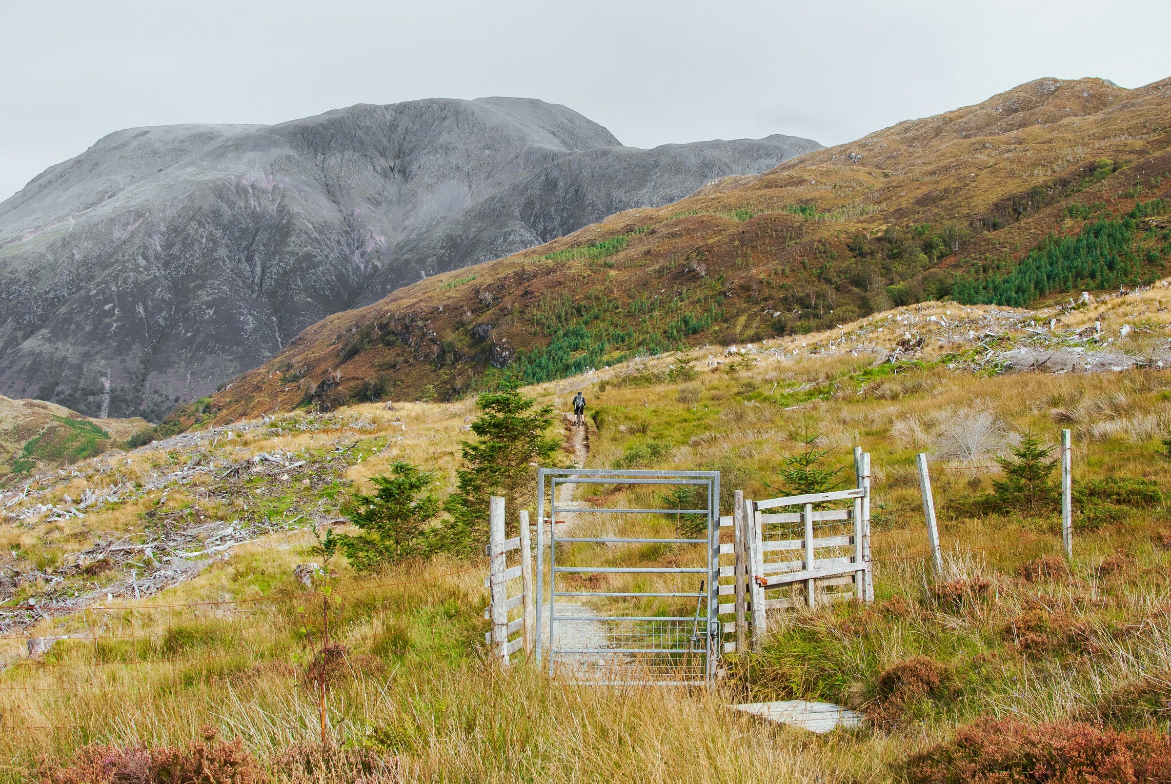
The eastern shore of Loch Lomond is the busy side: Drymen, Balmaha (the visitor hub, with the Highland Boundary Fault running directly through Conic Hill above the village), Rowardennan as the standard base for Ben Lomond (974 m, the most-climbed Munro in Scotland by some margin), and Inversnaid where the West Highland Way leaves the loch to head north towards Inverarnan. The western shore is gentler and quieter: Tarbet (with one R — distinct from Tarbert in Argyll), Inveruglas, Ardlui at the head of the loch.
The Trossachs themselves — strictly the strip of hills between Loch Achray and Loch Katrine, but commonly used for the wider Aberfoyle–Callander area — are the more-cultivated half of the park: Walter Scott country (the Lady of the Lake), the Sir Walter Scott steamship still running on Loch Katrine, the Loch Katrine cycling path, the Three Lochs Forest Drive. North-east of Callander, Balquhidder Glen holds Rob Roy MacGregor’s grave and the road to Inverlochlarig, and the road continues to Crianlarich and Tyndrum where the West Highland Way crosses through.
A note on names: there are two Tarberts in this corner of Scotland, sometimes confused. Tarbet (one R) is on the western shore of Loch Lomond. Tarbert (two Rs) is on the western side of Argyll, on Loch Fyne, and is the gateway to the Kintyre peninsula. Both come from the same Gaelic root (tairbeart, an isthmus), but they’re 90 km apart.
Getting there
By car from Glasgow: A82 north for the western shore of Loch Lomond, A809 then A811 for the eastern shore via Drymen and Balmaha. From Edinburgh: M9 / A84 to Callander and the Trossachs. By rail: West Highland Line stops at Arrochar & Tarbet, Ardlui, Crianlarich, Tyndrum (Lower for the Glasgow-bound platform; Upper for the Mallaig-bound one). By bus: Citylink runs Glasgow–Tarbet–Crianlarich–Fort William; for Balmaha take the local bus from Glasgow via Drymen.
When to go
Year-round. The park is unusual among Highland regions in having genuinely workable winter offerings — Aberfoyle and Callander run as full year-round towns, and Loch Lomond’s eastern shore stays active. Peak summer (July–August) is genuinely busy at Balmaha, Rowardennan, and on the Loch Lomond & The Trossachs by-laws have made wild camping in the eastern part of the loch a permit-required activity from March to September. Spring (April–June) and early autumn (September–early October) are the best windows.
Places to visit
64 listings across 3 categories.