Kintyre
The long peninsula running south from Tarbert to the Mull of Kintyre — Campbeltown, Springbank distillery, Davaar Island, Machrihanish links, Carradale. The Caledonia Way's southern terminus and the staging post for the Kennacraig–Islay ferry. Geographically and administratively part of Argyll, but with its own distinct visitor identity.
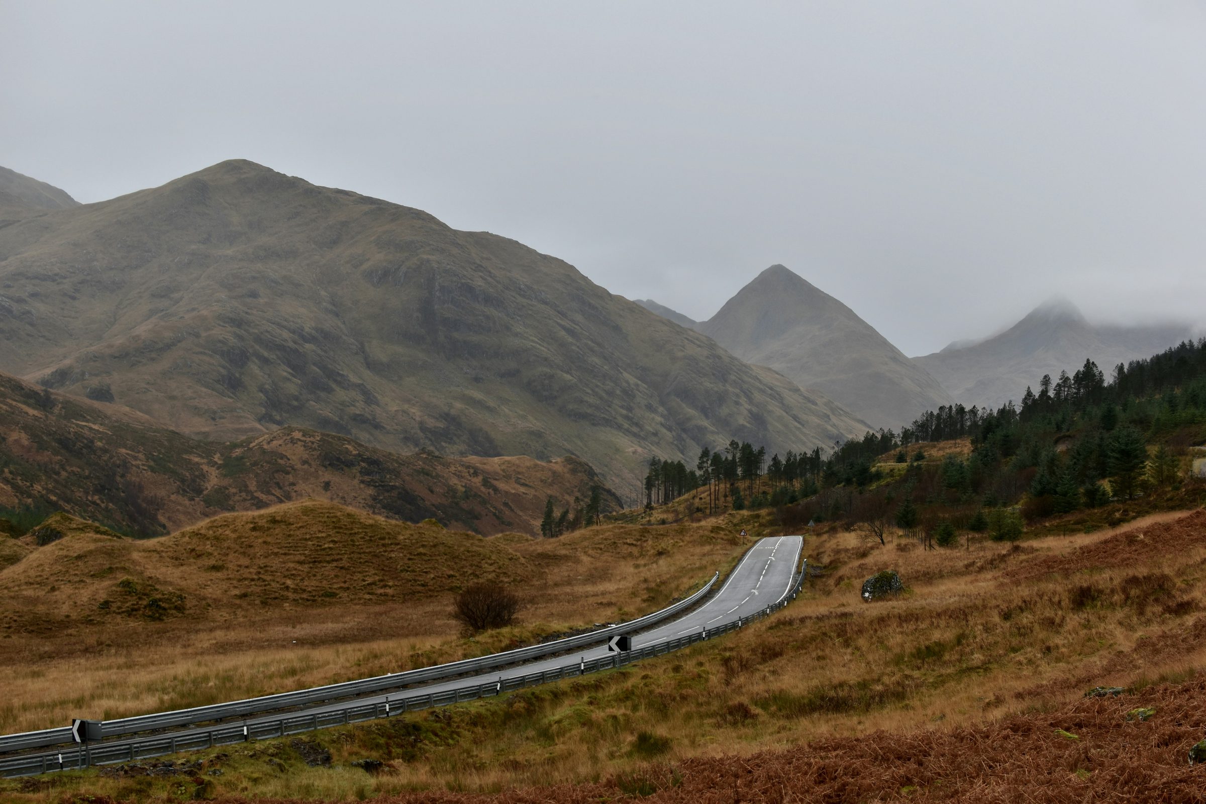
Kintyre (Cinn Tìre, “land’s end”) is the 65-km-long peninsula that hangs from Argyll’s south coast, separating the Firth of Clyde from the Atlantic. It is geographically and administratively part of Argyll & Bute, but the visitor mental model is firmly its own — partly the Mull of Kintyre brand (Paul McCartney’s farm, the song, the lighthouse), partly the linear road structure that makes it one of the longest single-day drives in mainland Britain, partly the slightly different feel of a place that is a drive-down-and-back-up-the-same-road destination rather than a through-route.
Tarbert (with two Rs — distinct from Tarbet on Loch Lomond) sits at the northern end where the peninsula joins the mainland proper; the village is the ferry port for Portavadie across Loch Fyne (a useful shortcut to Cowal) and a fishing harbour with one of the better small marinas on the west coast. From Tarbert the A83 runs south through Tayinloan (with the Gigha ferry), Glenbarr, and Kennacraig (Caledonian Macbrayne to Islay and Colonsay), reaching Campbeltown after 60 km.
Campbeltown is the southern terminus and the largest town — a harbour town that was once the whisky capital of the world (over 30 distilleries operating in 1900), now reduced to three but with the survival success story of Springbank, the only Scottish distillery to do every step from malting to bottling on a single site. The Davaar Island cave painting (Christ on the Cross, by Archibald Mackinnon, 1887) is reached by walking the tidal causeway at low tide. Machrihanish, on the Atlantic side, has one of the great links golf courses and an exposed surfing beach.
The Mull of Kintyre — the southern tip — is a 14-km drive from Campbeltown on a single-track road to the lighthouse, with views across to Antrim on a clear day (the Antrim coast is closer than Glasgow). The Mull was Paul McCartney’s farm; the 1977 song put it on the international map and the lighthouse remains the standard end-of-Caledonia-Way photograph.
A note on the region structure: Kintyre is the sibling of Argyll, not a sub-region. The administrative case for sub-region status is real (it’s part of Argyll & Bute council area) but the visitor mental model treats Kintyre as its own thing. Cross-link both ways with Argyll for editorial coherence.
Getting there
By car: the A83 from Glasgow via Loch Lomond, the Rest and Be Thankful, Inveraray, and Lochgilphead — about 3.5 hours from Glasgow, traffic and Rest-and-Be-Thankful dependent. By air: Campbeltown Airport at Machrihanish has a daily Loganair service from Glasgow (40 minutes). By ferry: the Kennacraig–Islay service is the main visitor ferry (3 sailings a day in summer); Tarbert–Portavadie is a short crossing useful for cyclists wanting to avoid retracing the Argyll mainland; the Calmac summer-only Campbeltown–Ardrossan service via Brodick (Arran) gives a much faster return to the central belt by avoiding the long drive north.
When to go
April to October is the working window for the small-business economy in particular. The whisky distilleries (Springbank, Glen Scotia, Glengyle/Kilkerran) all run year-round visitor tours but with reduced winter timetables. The Mull of Kintyre lighthouse road can become impassable in winter snow and high wind. Summer is busy in Tarbert and Campbeltown; the rest of the peninsula is rarely crowded.