Argyll
The historic county of Argyll & Bute on Scotland's mainland west coast — Inveraray, Crinan, Lochgilphead, the Cowal peninsula, Kilmartin Glen. Sea lochs, mountains, the Caledonia Way's longest stretch, and the inner Hebrides ferry hub at Oban (which sits as a sub-region for editorial focus).
Argyll (Earra-Ghàidheal, “the coastland of the Gael”) is the historic mainland west-coast county that runs from Loch Long in the south to Glencoe in the north, with the Cowal peninsula, Kintyre to the south-west, and the inner Hebrides offshore. The administrative unit “Argyll & Bute” today covers most of this plus several of the inner islands; the editorial Argyll region used here is the mainland portion only — Bute, Mull (already a separate Western Isles editorial region), and the smaller islands sit outside.
Inveraray is the architectural heart of the region — the planned 18th-century town built by the Dukes of Argyll, with the white-walled castellated castle on its lawn above Loch Fyne, the Inveraray Jail museum, and the sequence of Dukes-of-Argyll-funded buildings that make the front street one of the most photographed in mainland Scotland. South of Inveraray the road follows Loch Fyne to Lochgilphead (the modern administrative centre) and then to the Crinan Canal — the nine-mile sea-to-sea cut that lets Hebridean fishing boats avoid the long detour round the Mull of Kintyre.
The Crinan area opens onto Kilmartin Glen, which holds the densest concentration of prehistoric monuments anywhere in mainland Scotland — over 800 ancient sites within a 10-km radius of Kilmartin village, including the Temple Wood stone circles, the Nether Largie standing stones, Dunadd hillfort (the inauguration site of the kings of Dál Riata), and the Kilmartin Museum. The glen is now a candidate for UNESCO World Heritage Site status.
The Cowal peninsula — across Loch Long from Loch Lomond and reached either by the Rest and Be Thankful pass or by the Western Ferries crossing from Gourock — is the quieter, less-visited part of Argyll. Dunoon, the Loch Eck shore, the Argyll Forest Park (Britain’s first forest park, established 1935), and Glenbranter on the cycle route all sit here. Tighnabruaich at the southern tip has one of the great west-coast pub landings, the Royal Hotel, looking across to the Kyles of Bute.
A note on the region structure: the existing Oban content sits as a sub-region of Argyll. Oban’s editorial focus on its own ferry-port-and-Hebridean-gateway identity is preserved (the /oban URL, the Oban-and-Mull printed map product, all Oban listings) — but the wider Argyll page surfaces those listings via parent traversal, the same way Harris’s page picks up Scalpay listings.
Getting there
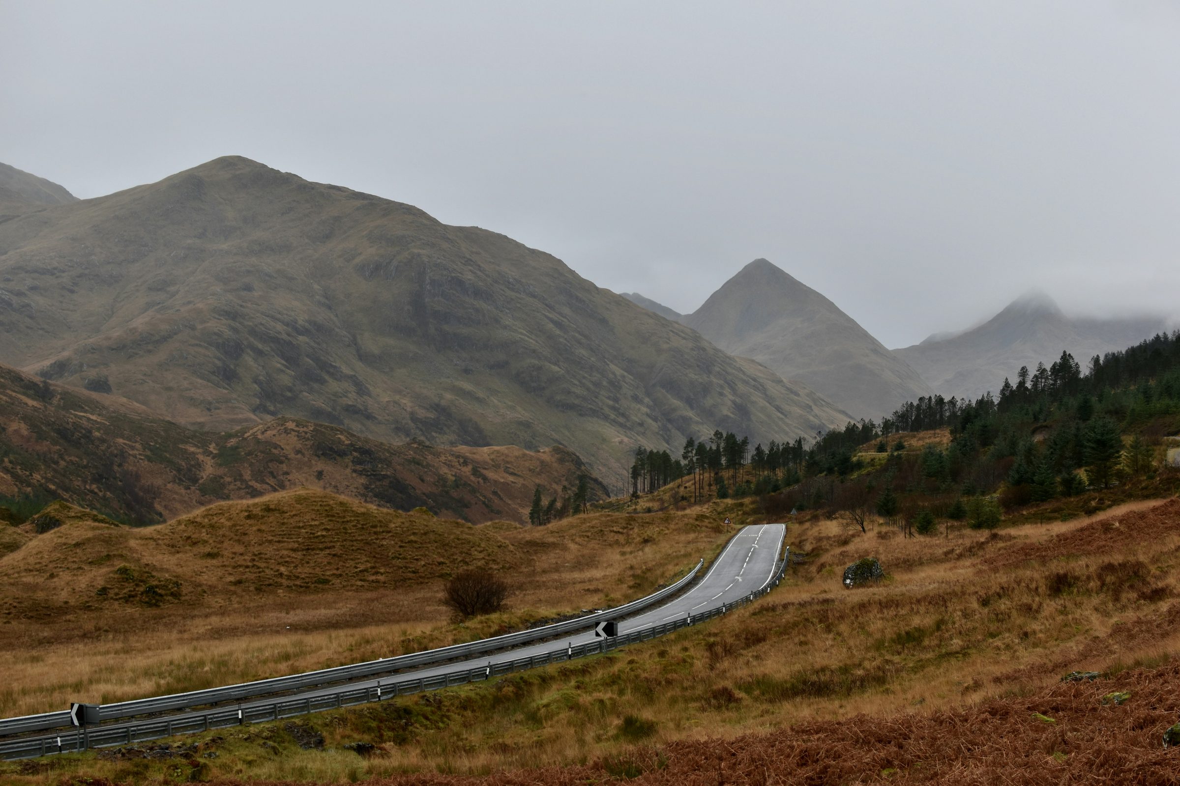
By car from Glasgow: A82 along Loch Lomond, then A83 over the Rest and Be Thankful for Inveraray, Lochgilphead, and the south. The Rest and Be Thankful pass on the A83 has been chronically affected by landslides — check Traffic Scotland for closures before travelling, particularly in winter and after heavy rainfall. By rail: there’s no rail to Inveraray or Lochgilphead — the West Highland Line crosses the northern edge of Argyll at Tyndrum and continues north; the closest rail station to Inveraray is Arrochar & Tarbet (45 minutes by bus). For Oban specifically, see the Oban region page — the West Highland Line’s Oban branch runs from Glasgow Queen Street.
When to go
April to October is the working window for the visitor economy. Inveraray Castle and Jail are seasonal (closed November to mid-March); the Crinan Canal and the cycle paths are walkable year-round but with shorter daylight. Cowal is quieter year-round than the Loch Fyne strip — a viable winter destination if Argyll is the goal but big-name attractions matter less.
Sub-regions
Places to visit
18 listings across 4 categories.